2024, There is a new trail from the Town of Dolores to the Boggy Draw trail system bypassing Road 31. Access the Dolores Town Trail at the north end of 14th street. It intersects Bean Canyon Trail. This new trail is commonly used when looping the McPhee Overlook trail at the west end of Dolores or accessing the Boggy Trail System from town.
September 2021, the top 5 miles of Ryman trail has been rerouted/rebuilt. This improvement makes it possible to ride up the Ryman trail to access the Colorado Trail or another option to drop back into the Dolores river valley. The climb requires a big effort with 2500' of elevation gain in about 7 1/2 miles, and with the exception of a rock feature, is completely rideable by a strong and skilled biker. At the top of Ryman take the Roaring Fork road FS 564 right/south a short distance to the Colorado Trail. Or from the Colorado trail where it shares the Roaring Fork road FS 564 for a short distance in two spots in close proximity stay north on the road on the northeastern most shared section for a short distance and look for the Ryman trail sign on the left. Riding up Ryman to the Colorado Trail then down Salt is a great new option that is all singletrack avoiding the highway. Other options are Whispering Springs up, then up Salt to the Colorado Trail and down Ryman. Or Scotch to Colorado Trail and down Ryman. Or down Ryman instead of Salt in other trail combinations. Be aware this has a significant seasonal closure in the spring as a result of pressure from the big game hunting community.
arizona map updates
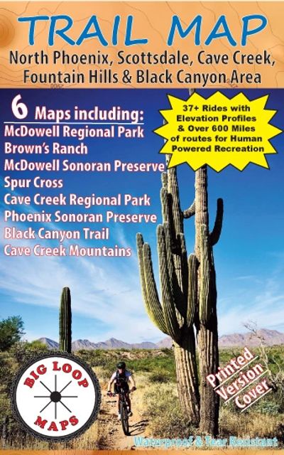
Trail Map North Phoenix, Scottsdale, Cave Creek, Fountain Hills & Black Canyon City Area
2024 - The Pima Dynamite trailhead has been rebuilt and is now accessed via Pima road. Access through the Sears Kay ranch to the Maricopa Trail has been closed.
Subscribe
NO JUNK GUARANTEE!!! Just occasional mountain biking trail related news and useful info!